Westboro WMA
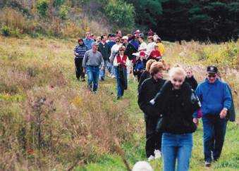
Photo Courtesy of John Gareri
Trail down from Rabbit Hill
On the border of Westborough and Northborough lie a number of adjacent open space parcels. These parcels together comprise one of the largest open space areas in the region. This area was almost developed into a Six Flags amusement park in the early 1980's.
The largest of these properties is the Westboro Wildlife Management Area that is operated by the Massachusetts Division of Fisheries and Wildlife . This is an area of 427 acres extending from Milk Street (Route 135) on the west to Lyman Street. Hunting is allowed year-round (except on Sundays) in this area, so walkers should wear orange. This area also allows mountain biking.
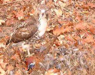
Photo Courtesy of Brenda Clarkson
Hawk having dinner on the trail
This area features many open fields with different wildflowers throughout the growing season, from yarrow and clovers to daisies and black-eyed Susan to milkweed and Queen Anne's lace to goldenrods and fall asters of different hues. Vetches and multiflora rose have been introduced through past human activities. The fields create a valuable nesting habitat for birds and offer scenic vistas at sunset. Hay fever season can be fierce in this setting. Grassy old farm roads lead walkers to many parts of the property. Some sections are wooded and wet, and in places wood frogs and spring peepers make themselves heard in early spring.
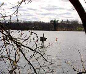
Photo Courtesy of Ellen Obrien
Lake Chauncy
![]()
![]()
![]()
![]()
![]()
![]()
![]()
![]()
Map to Rabbit Hill Entrance (follow signs to Fish and Wildlife)
Map to Lyman Street Entrance (follow signs to Little Chauncy Fishermans Access)
Assabet North (previous segment of the Charm Bracelet)
Crane Swamp (next segment of the Charm Bracelet)
Westborough Community Land Trust, PO Box 838, Westborough , MA 01581
-- Contact -- Join! --